Airbus Pleiades Neo Next: 20 cm Satellite Imagery in 2028
Discover the latest breakthrough in satellite imagery as Airbus announces the launch of its first Pléiades Neo Next satellite in early 2028. This advancement promises to elevate Earth observation with superior resolution and capabilities, building on the success of the Airbus Pleiades constellation.
Airbus Pleiades Neo Next: Revolutionizing Satellite Imagery
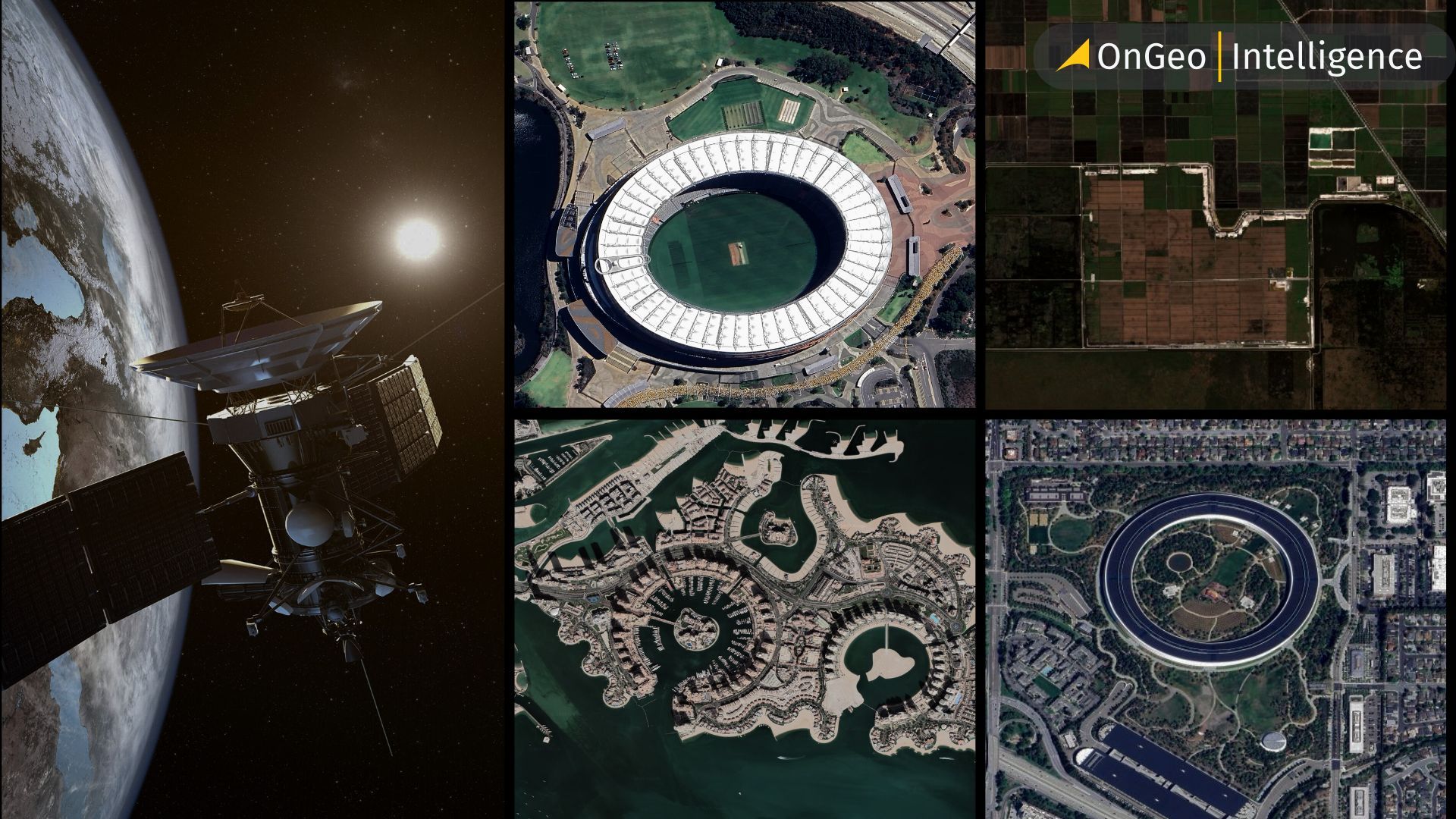
When it comes to high-resolution satellite imagery, the Airbus Pleiades constellation has been leading the way for years. These satellites provide critical data for a wide range of industries - from agriculture to defense. Now, Airbus is taking the next big step: the first Pléiades Neo Next satellite is set to launch in early 2028 from the European Spaceport in Kourou, French Guiana, aboard Avio’s Vega C rocket. This move shows that Airbus isn’t slowing down - it’s determined to stay at the forefront of geospatial technology and offer even better Earth observation services worldwide.
Key Features of the Pléiades Neo Next Program
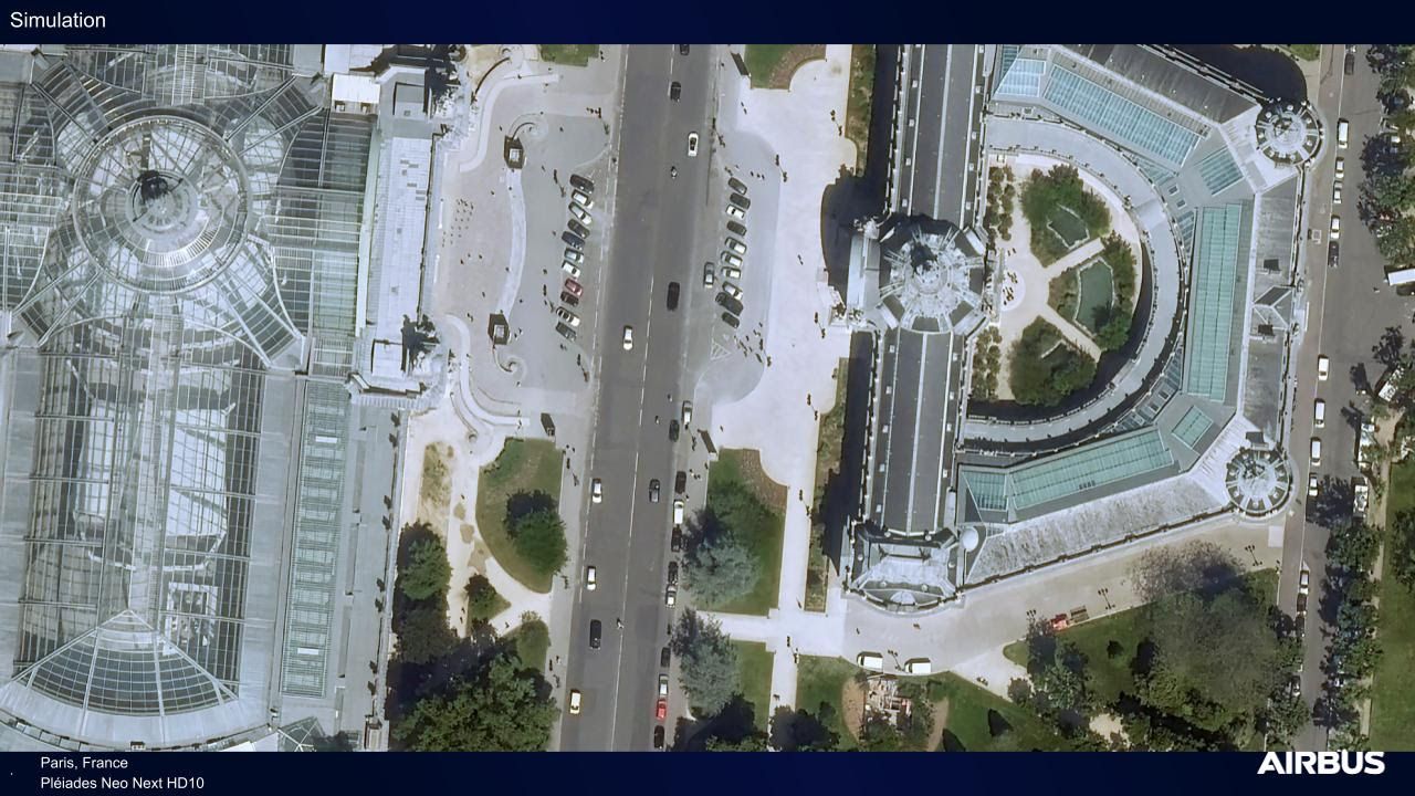
The Pléiades Neo Next program introduces satellites with 20-cm-class native resolution, giving an unprecedented level of detail in satellite imagery.
Eric Even, Head of Space Digital at Airbus Defence and Space
“This program builds on the success of our existing Pléiades Neo constellation, serving government and commercial customers around the world. It raises the bar in terms of image quality, performance, and reliability for our geo-intelligence services.”
Fully funded, built, and operated by Airbus Defence and Space, the program supports a wide range of sectors: defense, agriculture, environmental monitoring, maritime operations, disaster response, mapping, location-based services, civil engineering, urban planning, and utilities. Users can task the satellites just minutes before overflight and receive images via Direct Receiving Stations (DRS) or the OneAtlas platform - crucial for time-sensitive operations.
Enhanced Capabilities in Airbus Satellite Imagery
Combining Pléiades Neo and Pléiades Neo Next satellites allows for higher revisit rates - several times per day - while maintaining top-tier spatial resolution and geolocation accuracy. Upgrades to the ground segment, DRS, and OneAtlas also increase the system’s capacity and reduce the time from request to image delivery.
Airbus’s fleet - including both optical and radar satellites - provides complementary services that work in all weather conditions and at any time of day. At the same time, developments in stratospheric platforms further strengthen Airbus’s innovative edge in satellite imagery.
Real-Time Insights: How Pléiades Neo Next Transforms Decision-Making
One of the most exciting aspects of Pléiades Neo Next is how it’s set to transform real-time decision-making. Imagine being able to track changes in urban development, monitor crops, or respond to natural disasters almost as they happen - that’s the level of detail and speed this constellation brings. By combining high-resolution imaging with faster revisit cycles, Airbus is giving governments, businesses, and researchers a kind of “supervision from above” that was almost science fiction just a few years ago. It’s not just about pretty pictures from space - it’s about actionable intelligence that can save time, resources, and even lives.
Summary: Pléiades Neo Next, Satellite Imagery, Earth Observation
Pléiades Neo Next isn’t just another satellite - it’s a major leap forward in Earth observation. With higher-quality imagery, faster revisit times, and more precise data, Airbus is reinforcing its leadership in the geospatial sector. Businesses, government agencies, and other users gain a tool that allows them to react faster, plan smarter, and make decisions based on accurate satellite data. In short - this is technology that truly changes the way we see our planet.