2026-06-29
~ 4 min
(Article updated: 2026-06-29)
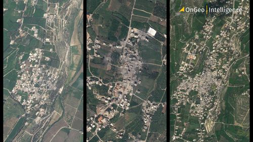
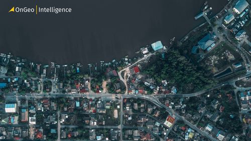
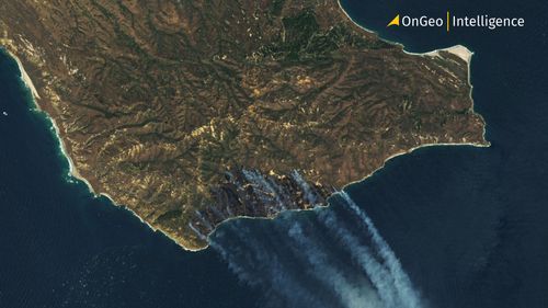
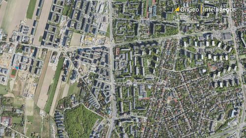
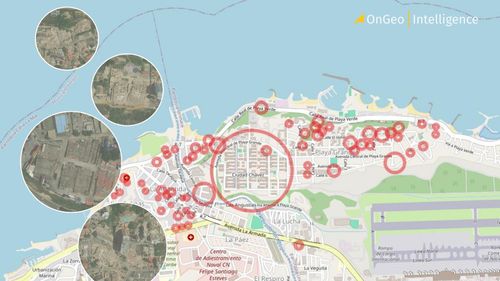
Devastating before-and-after satellite images reveal the full scale of destruction in Venezuela after two powerful earthquakes (7.2 and 7.5 magnitude) struck just 39 seconds apart on June 24, 2026. La Guaira was hit hardest, with entire neighborhoods reduced to rubble. OnGeo Intelligence analyzes the latest satellite imagery showing collapsed buildings, humanitarian crisis, and the road to recovery
Read more