2025-11-14
~ 9 min
(Article updated: 2025-11-14)
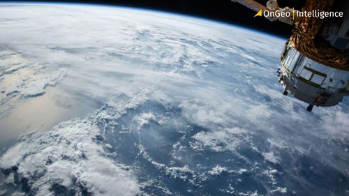
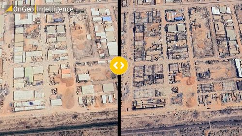
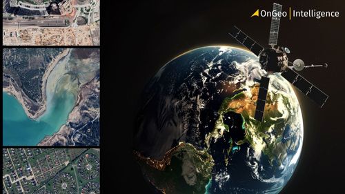
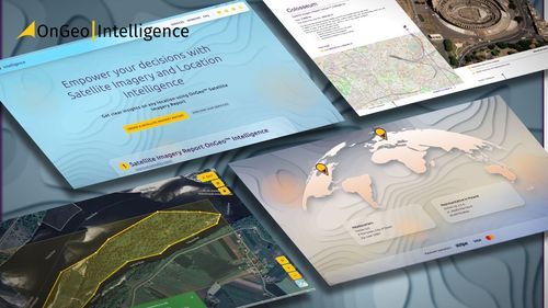
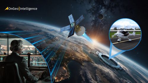
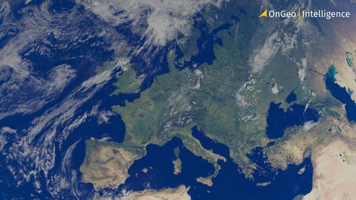
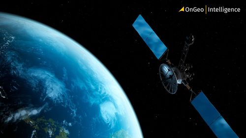
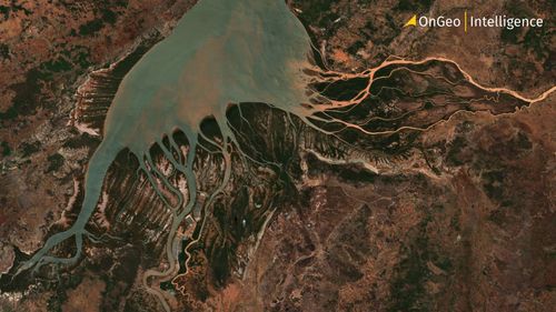
Satellite imagery has transformed how we understand our planet. This article explains how data is captured in orbit, processed on the ground, and turned into the clear, actionable visuals we use for weather tracking, urban planning, environmental monitoring, and scientific analysis.
Read more