2026-03-06
~ 10 min
(Article updated: 2026-03-06)
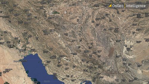
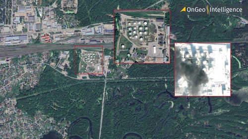
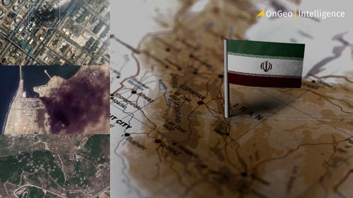
Satellite imagery reveals the scale of destruction across the Middle East amid the escalating Iran–Israel conflict. From Tehran and Beirut to Dubai and Saudi oil infrastructure, high-resolution images show strike patterns, damaged facilities, and the evolving battlefield visible from orbit.
Read more