2025-04-07
~ 3 min
(Article updated: 2025-04-07)
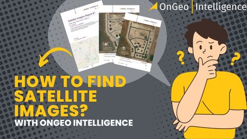
Where to find satellite images? Access to satellite images has never been easier! With OnGeo Intelligence, you can check the image of any place on the map in a few moments. This tool is ideal for landowners, investors and anyone who wants to see their land from a satellite perspective.
Read more