Blog

2024-07-25
~ 4 min
(Article updated: 2024-11-29)
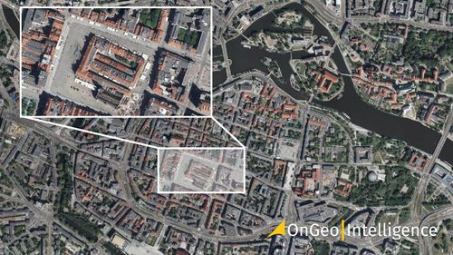
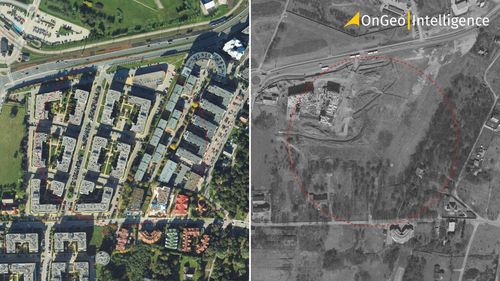
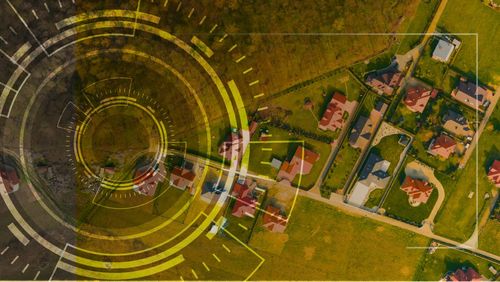
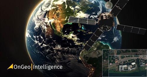
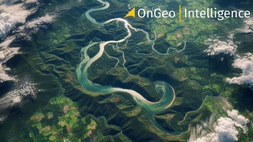
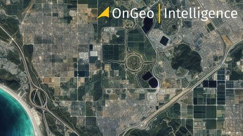
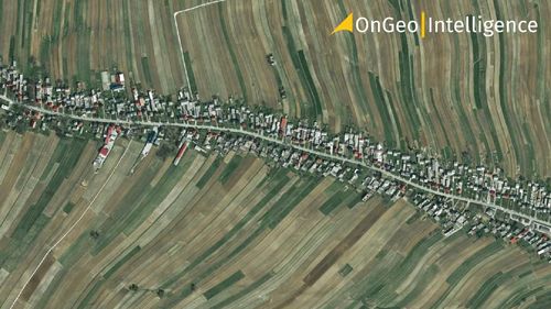
Satellite maps are images of Earth taken by human-made satellites orbiting our planet. When these images are connected, they show a bird’s eye view of locations, landscapes, and properties of all sizes. The uses for satellite maps go far beyond casual use. They are a powerful resource for navigation, city planning, environmental monitoring, and disaster response. By providing an alternative perspective, satellite maps allow us to visit the places we care about in ways we could never before.
Read more
Very high resolution (VHR) satellite imagery OnGeo Intelligence
2024-07-02
~ 11 min
(Article updated: 2024-11-29)
In today's digitally advanced world, high resolution satellite imagery has become a pivotal resource across a multitude of sectors. The ability to access highly detailed views from above not only enhances our understanding of Earth's surface but revolutionizes decision-making processes in various fields. With advances in spatial resolution, the quest for the highest quality satellite imagery is more pertinent than ever.
Read more
Location Intelligence OnGeo
2024-06-19
~ 5 min
(Article updated: 2024-11-29)
In the fast-paced digital age, businesses are constantly searching for innovative ways to gain a competitive advantage. One such innovation that is making a significant impact across various industries is Location Intelligence . This cutting-edge approach involves the use of geospatial data and advanced analytics to extract valuable insights, which can drive strategic decision-making , optimize operations , and enhance customer experiences .
Read more
Real-Time Satellite Imagery
2024-06-18
~ 6 min
(Article updated: 2025-06-18)
Viewing satellite images in real-time is mainly achieved through meteorological satellites . These images, at best, show conditions from a few minutes ago and are mostly provided by geostationary meteorological satellites. Very High Resolution (VHR) satellite imagery, which offers detailed terrain views, is available from different types of satellites. These images are usually accessible within a few to several dozen hours after being captured.
Read more
 Remote sensing indicators NDVI, NDMI, and NDWI
2024-04-17
~ 6 min
(Article updated: 2024-11-29)
The remote sensing indicators NDVI, NDMI, and NDWI are satellite image processing techniques used to extract and condense thematic information contained in multiple image channels. They help to understand and monitor various aspects of the natural environment, including vegetation quality and quantity, land moisture, and open water presence.
Read more