2024-08-30
~ 5 min
(Article updated: 2024-11-29)
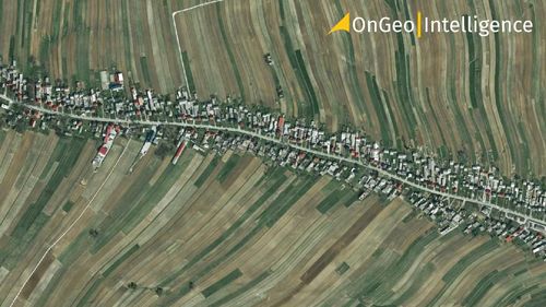
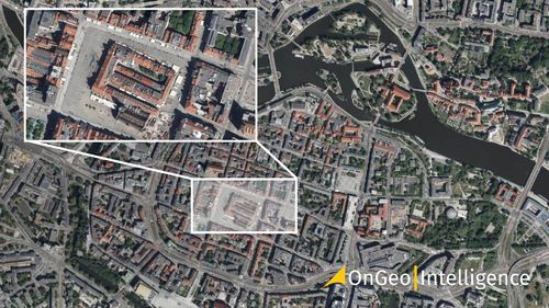
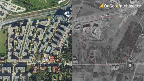
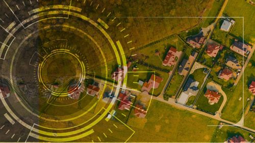
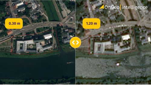
What is Spatial Resolution? The spatial resolution of satellite images plays a vital role in determining the level of detail with which objects can be observed in the image. It serves as a measure of the minimum distance at which two distinct points on the Earth's surface can be recognized as separate entities. Essentially, the higher the resolution, the smaller the objects that can be discerned in the image.
Read more